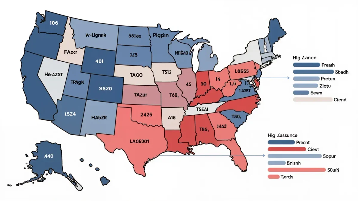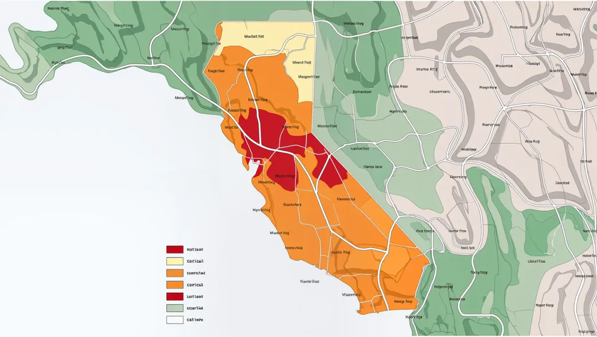
The state's newest wildfire hazard maps are drawn in pink, orange and red, and they increasingly function as a pricing schedule. Cal Fire's Fire Hazard Severity Zone maps, updated across local-responsibility areas in 2023-2024, classify nearly every parcel in the state by modeled fire behavior — fuel, slope, ember exposure — and insurers, lenders, and buyers now read them alongside the industry's own risk scores. The average California homeowner premium has run roughly double the national average in recent years, per insurance department and industry data, and in the red zones the quotes often arrive only from the state's backstop plan.
This site publishes information, not financial or insurance advice. Rates, filings and underwriting rules change with each Department of Insurance decision and each carrier's annual filing cycle.
The two maps that govern your premium
Cal Fire's severity zones are regulatory: they determine defensible-space and building-code requirements, real estate disclosure obligations and, in the highest zones, stricter construction standards for new builds. They are hazard maps — physical risk, no prices attached. The industry's maps are actuarial: carriers layer loss history, vegetation data, distance-to-station metrics and probabilistic fire models into scores that feed underwriting and, since 2023, rate filings.
The gap between the two systems shaped the last decade's crisis. Carriers argued that rate approvals based on historical losses understated forward-looking catastrophe risk, and withdrew from high-scoring zones rather than write at approved rates; regulators argued the models justified profits the data did not show. The Department of Insurance's Sustainable Insurance Strategy, rolled out from 2023, conceded the core point: carriers may now use forward-looking catastrophe models in ratemaking, and net-cost reinsurance expenses count in filings — in exchange for commitments to write more policies in distressed areas.
What rates actually look like now
Statewide averages conceal the gradient that matters. Per department and industry data through 2025, average California homeowner premiums ran in the low thousands — roughly double the national mean — while quotes in very-high hazard zones frequently reached several times that, when the standard market quoted at all. After the January 2025 Palisades and Eaton fires, whose insured losses rank among the costliest wildfire events in United States history, the repricing accelerated: State Farm's emergency interim 17 percent rate increase, authorized by the department in August 2025, was the emblematic case, and subsequent filings across the market carried catastrophe-model justifications that would have been inadmissible two years earlier.
The FAIR Plan's growth is the shadow statistic of the pricing map. As standard carriers declined zones the models scored worst, the state's insurer of last resort absorbed the demand — roughly tripling its policy count between 2019 and 2024 — which mutualizes those losses back into every property premium through post-event assessments. Pricing risk and pooling risk are running in opposite directions at once.
Mitigation: the part of the price a homeowner can move
The regulatory counterweight is the Safer from Wildfires framework, which requires rate credits for mitigation: Class-A roofs, ember-resistant vents, cleared five-foot ember zones, enclosed eaves, and community-level protections like shaded fuel breaks. Homeowners who document hardening can shave premiums meaningfully under both standard carriers and the FAIR Plan, and the state's wildfire fund eligibility ties to certificates of insurance that mitigation supports. The physics is settled — post-fire investigations from Paradise to the Palisades consistently find embers, not flame fronts, igniting the majority of structures — and the pricing framework now partially rewards acting on it.
Non-renewal data makes the retreat measurable: department consumer surveys and zip-code-level filings through 2025 showed tens of thousands of notices concentrated in Sierra foothill and Southern California brush-zone markets, even as urban and coastal premiums rose for different reasons — reinsurance and rebuild costs rather than hazard scores. Lending transmits the signal. Insurability has become a mortgage underwriting fact: carriers' declinations in hazard zones can stall closings, appraisal adjustments for insurance costs appear in Central Valley and foothill markets, and buyer due-diligence now includes quoting coverage before removing contingencies.
The fund that backstops the whole system
Beneath the pricing sits a $21 billion structure most policyholders never see. The California Wildfire Fund, created after PG&E's bankruptcy to compensate victims of utility-ignited fires, combines shareholder contributions from the state's largest utilities with an annual charge on ratepayers, and pays qualifying claims when a participating utility's fire exceeds its ability to pay. The fund interacts with insurance markets indirectly: it stabilizes utility creditworthiness, which keeps fire-victim compensation outside the insurance channel, while utility-caused losses that do reach insurers flow through subrogation claims that carriers recover from utilities — a legal loop that shows up in premiums on both ends.
Commercial lines illustrate the compounding. Wineries, resort operators and rural businesses in hazard zones face the same retraction as homeowners but with larger limits at stake, and some agricultural processors now carry wildfire coverage through surplus-lines carriers at multiples of prior premiums — costs that pass into the price of California goods sold statewide.
What to watch
Three markers tell the next chapter: the department's docket of catastrophe-model-based rate filings, which shows how fast forward pricing is being absorbed; the FAIR Plan's quarterly statistics, which reveal whether the standard market is re-entering the red zones or continuing to shed them; and Cal Fire's next map cycle, which will reclassify parcels as fuel accumulation and climate shifts move the hazard boundaries. The maps are the state's risk communication. The premium letters are how it arrives at the door.