California does not have one weather pattern. It has dozens, and they can sit an hour apart. The state stretches 760 miles from Oregon to Mexico and covers about 163,696 square miles, the third-largest state by land area, so its climate runs from wet coastal forest to dry desert to snowy mountain peaks. A newcomer's first lesson is simple: the weather where you live is not the weather the state is having.
Three patterns matter most for daily life. First, the Mediterranean rhythm of dry summers and wet winters along the coast and valleys. Second, fire season, which now runs long and shapes the fall calendar. Third, atmospheric rivers, the winter storms that can end a drought or flood a street in a week. Knowing how each works tells you what to expect from month to month.
Why does California have so many microclimates?
A microclimate is a small area with its own weather, different from the region around it. California produces them because of the Pacific, the mountains and the elevation extremes. The state's highest point, Mount Whitney, reaches 14,505 feet. Its lowest, Badwater Basin in Death Valley, sits about 279 feet below sea level. That vertical spread compresses nearly every North American climate type into one state. This connects to our earlier piece, CEQA, Explained: The Law That Shapes Almost Every California Building Project.
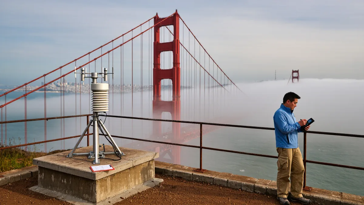
The coast stays mild because the ocean holds its temperature. Move inland over a hill range or two, and summers get hotter and winters get cooler. The Central Valley bakes in July and fills with fog in January. The Sierra Nevada holds snow well into spring. Deserts in the southeast run hot and almost rainless. According to Wikipedia's overview of California, the state's climates vary from moist temperate rainforest in the north to arid desert in the interior, with snowy alpine conditions in the mountains.
The practical takeaway: check the forecast for your city, not the state. A 20-degree difference between San Francisco and a town 40 miles inland on the same afternoon is normal, not a forecast error.
What is the normal yearly pattern?
Most of California's populated areas follow a Mediterranean pattern. Rain falls mainly between roughly November and March. Summers are dry, sometimes for months at a time. Vegetation browns in late summer and greens again after the first winter storms. This rhythm drives almost everything else: the fire risk, the water supply, even the color of the hills.
The mountains follow a different calendar. Snow accumulates in the Sierra Nevada through winter and melts through late spring. That meltwater feeds rivers and reservoirs long after the rain stops. The state's water year runs from October through September, which is why snowpack gets measured in early spring as a kind of savings-account check. Recent years show how volatile that account is; California's April snow survey found almost no snow, a reminder that the winter supply can fail in a single warm, dry season.
What exactly is an atmospheric river?
An atmospheric river is a long, narrow band of water vapor carried through the sky from the tropical Pacific. When it hits California's coast and mountains, it can drop enormous amounts of rain and snow in a short time. Forecasters sometimes call the strongest ones the Pineapple Express, because the moisture often originates near Hawaii.
For newcomers, the surprise is intensity. A well-behaved winter storm in most states drops steady rain for a day. An atmospheric river can drop a season's worth in a few days, flooding roads, knocking out power and triggering debris flows on burn scars. They are also the state's main water delivery system. A wet winter built on a few strong atmospheric rivers can refill reservoirs; a dry winter with none deepens a drought. The same phenomenon is both hazard and lifeline, which is why California water news swings so hard from shortage to surplus.
When is fire season, and what should newcomers know?
Historically, fire season peaked in late summer and fall, after months with no rain had dried out the brush and before the winter rains arrived. The dry offshore winds that blow from land to sea in autumn can push fires fast toward populated areas. Because summers start earlier and stay dry longer, the risky stretch now extends well beyond those classic months.
What this means in practice: if you move to a foothill, canyon or wildland-edge neighborhood, your home's fire risk is part of the deal. Check whether you live in a mapped fire hazard zone. Keep defensible space around structures. Sign up for county emergency alerts, and know your evacuation route before the smoke shows up. The state funds prevention work as well as firefighting; $70 million has opened up for wildfire prevention projects, from forest thinning to home-hardening programs.
Smoke is a separate issue. A fire 100 miles away can foul your air for a week. It is worth knowing where to check the local air-quality index and whether your home has a way to filter indoor air.
How is the climate itself changing?
The baseline is shifting. The state is warming and drying overall, with frequent wildfires, and researchers describe increasing "weather whiplash" — sharper swings between very wet and very dry years. As Wikipedia's California entry notes, the state is warming and drying overall while experiencing increasing weather whiplash. For a newcomer, that means the old rule-of-thumb calendars are less reliable than they used to be. A rainy year no longer guarantees the next one.
Our analysis of the pattern: plan for variability, not averages. Keep the earthquake kit and add smoke masks. Treat the first storm of the season as a real event, since summer-dry roads and hillsides make early-season rain slippery and flood-prone. And read the water and fire news the way locals do, as a running seasonal story rather than breaking surprises.
The bottom line for your first year
Expect a dry, warm summer with smoke possible in late season. Expect the real weather to arrive between late fall and early spring, sometimes all at once. Expect your specific neighborhood, not the state, to set your forecast. California's weather rewards people who pay attention to place: the fog line, the canyon wind, the ridge above the house. Learn those local details and the state's famous variety becomes an advantage instead of a shock.